AI & Technology Expert Training

AI & Machine Learning
Implementing intelligent systems and predictive analytics
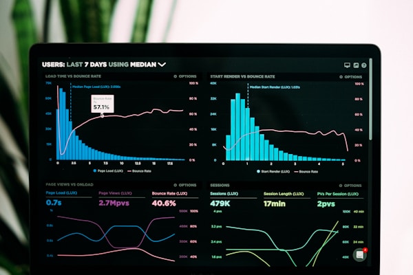
Data Analytics
Real-time dashboards and AI-powered reporting systems

AI-Powered GIS
Advanced geospatial analysis with machine learning

Computer Vision
Image recognition and spatial pattern detection
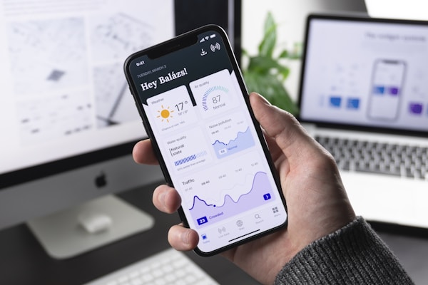
Mobile AI Solutions
GPS-enabled apps with intelligent recommendations

Process Automation
AI-driven workflow optimization and automation

Intelligent Databases
AI-enhanced data management and querying
Web AI Integration
Smart web platforms with predictive features
AI & Machine Learning
Implementing intelligent systems and predictive analytics
Data Analytics
Real-time dashboards and AI-powered reporting systems
Sabwa Accadius Benard
GIS Developer & Software Engineer specializing in enterprise solutions, geospatial systems, and data-driven applications across Africa.
About Me
I'm a passionate software developer and GIS specialist with over 15 years of experience building innovative solutions that bridge technology and real-world impact. From developing market information systems serving farmers across Africa to running UN peacekeeping GIS infrastructure in South Sudan, I thrive on solving complex challenges.
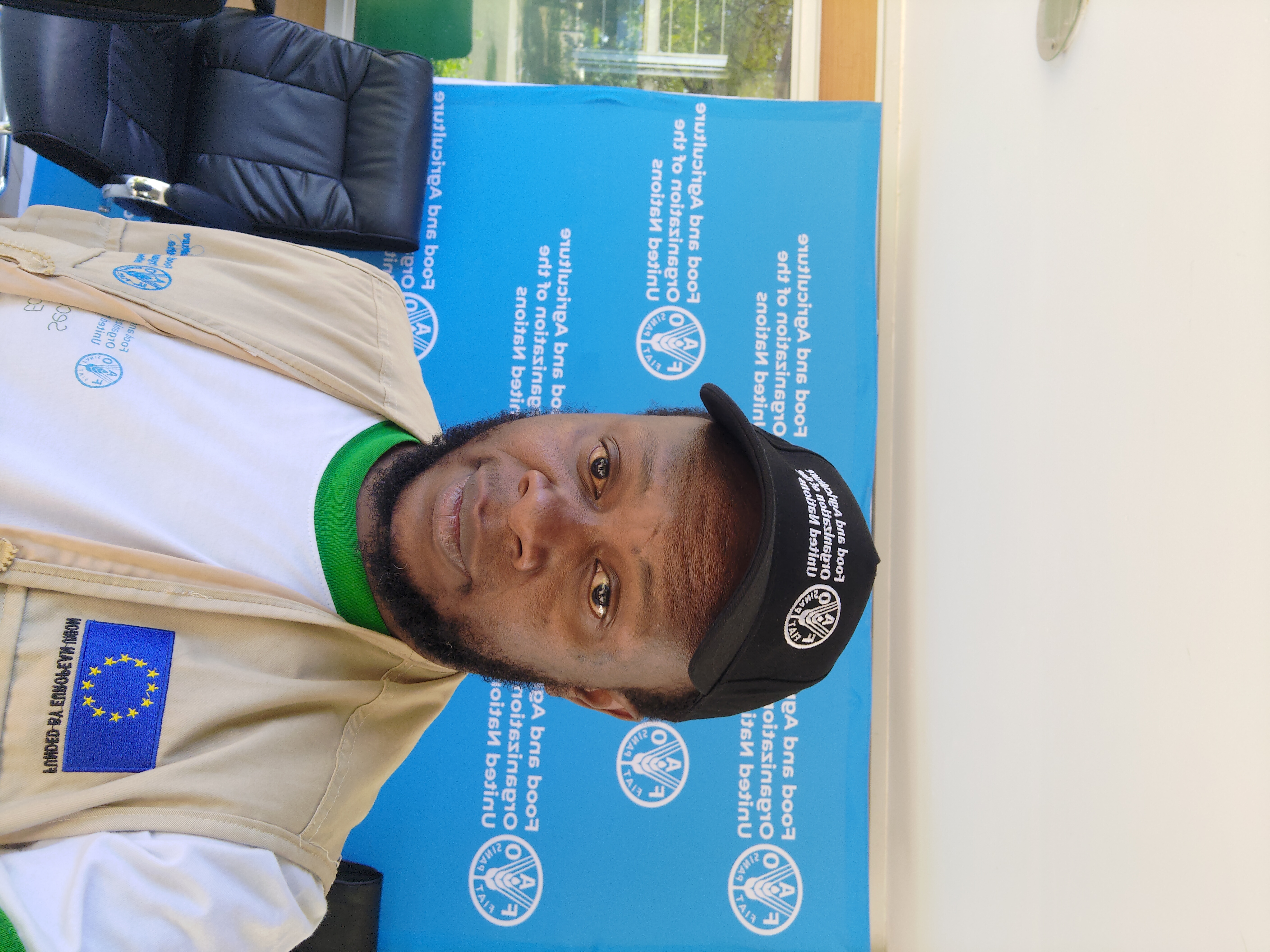
My expertise spans full-stack development, enterprise systems integration, mobile applications, and advanced geospatial analysis. I've worked with organizations like the UN DPKO, FAO, UNICEF, and leading tech companies including ESRI the global leader in GIS to deliver scalable, user-centered solutions.
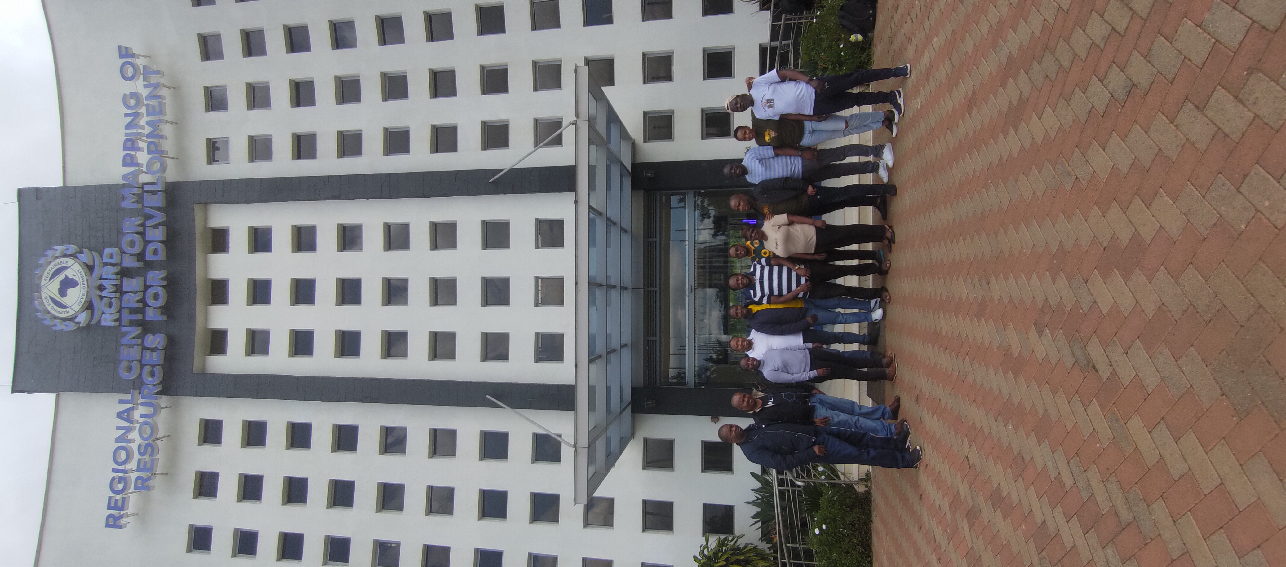
Currently teaching advanced GIS and Remote Sensing at RCMRD while continuing to innovate in the tech space.

Experience
Tutor/Lecturer - GIS & Remote Sensing
- Conduct pre-training needs assessment to tailor content to audience
- Develop comprehensive training plans and curriculum for advanced geospatial topics
- Create training materials, datasets, tools and user guides
- Deliver in-person/virtual training on ArcGIS Enterprise, GIS and Remote Sensing
World Bank ESF Expert - Tutor/Facilitator
- Taught Environmental and Social Safeguard Data Management using Geo-Enabling Tools
- Trained on Field Data Collection for Environmental and Social Impact monitoring
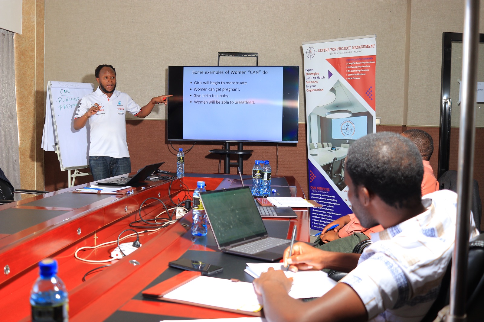
- Facilitated Gender Equality, Social Inclusion (GESI), and GBV/SEAH mainstreaming
- Provided training on Grievance Redress Mechanisms and Biodiversity Management
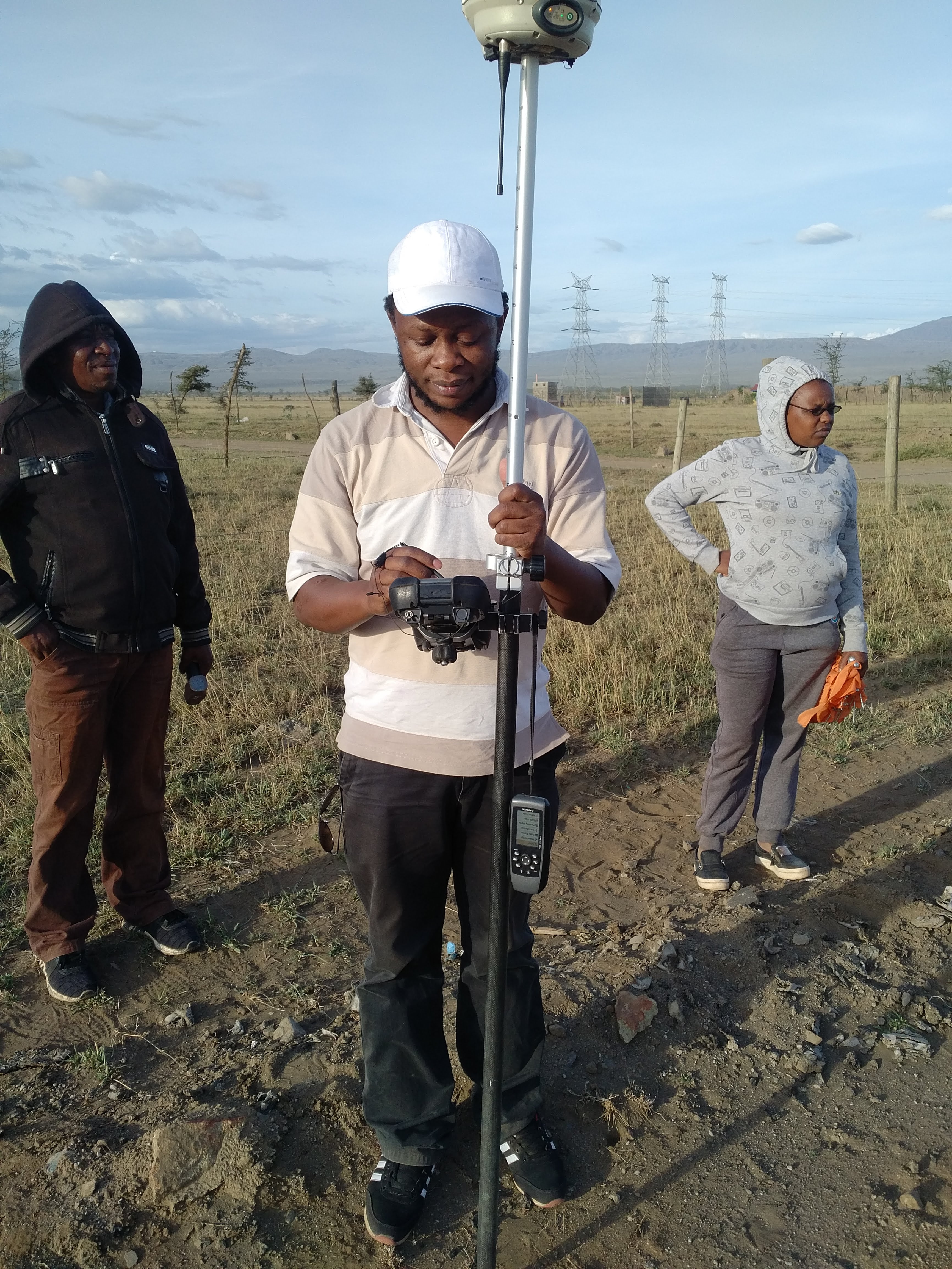
GIS Consultant
- Prepared topographic maps including contours, elevations, and landmarks
- Conducted flood risk analysis using advanced GIS techniques
- Generated 3D and 2D visualization maps from topographic data
- Delivered maps in GIS formats with comprehensive reports and recommendations
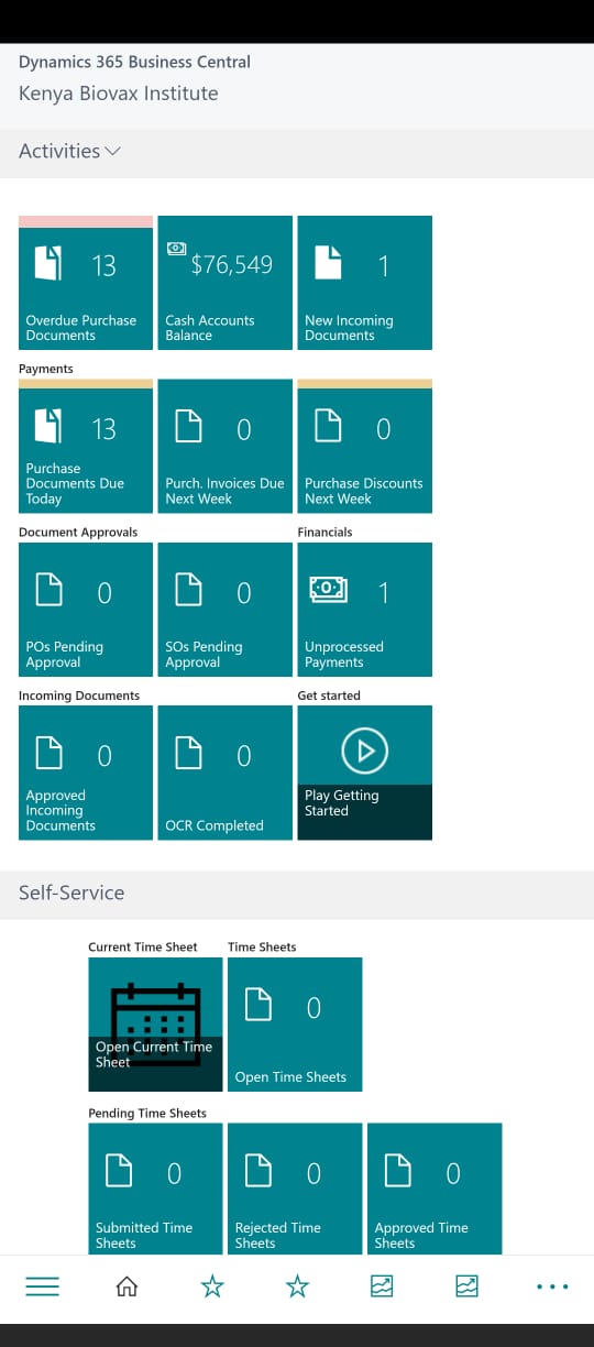
ERP Developer - MS Dynamics Business Central
- Developed and integrated Enterprise Resource Planning system
- Customized Microsoft Dynamics Business Central for organizational needs
- Implemented modules for finance, inventory, and operations management
System Developer / Data Analyst
- Developed Integrated Immunization Repository and Dashboard for Decision Making
- Enabled integration with DHIS2, Chanjo, NexLeaf, and ODK systems
- Implemented automated monitoring, evaluation, and dynamic report generation
- Created role-based actionable dashboards for health decision makers
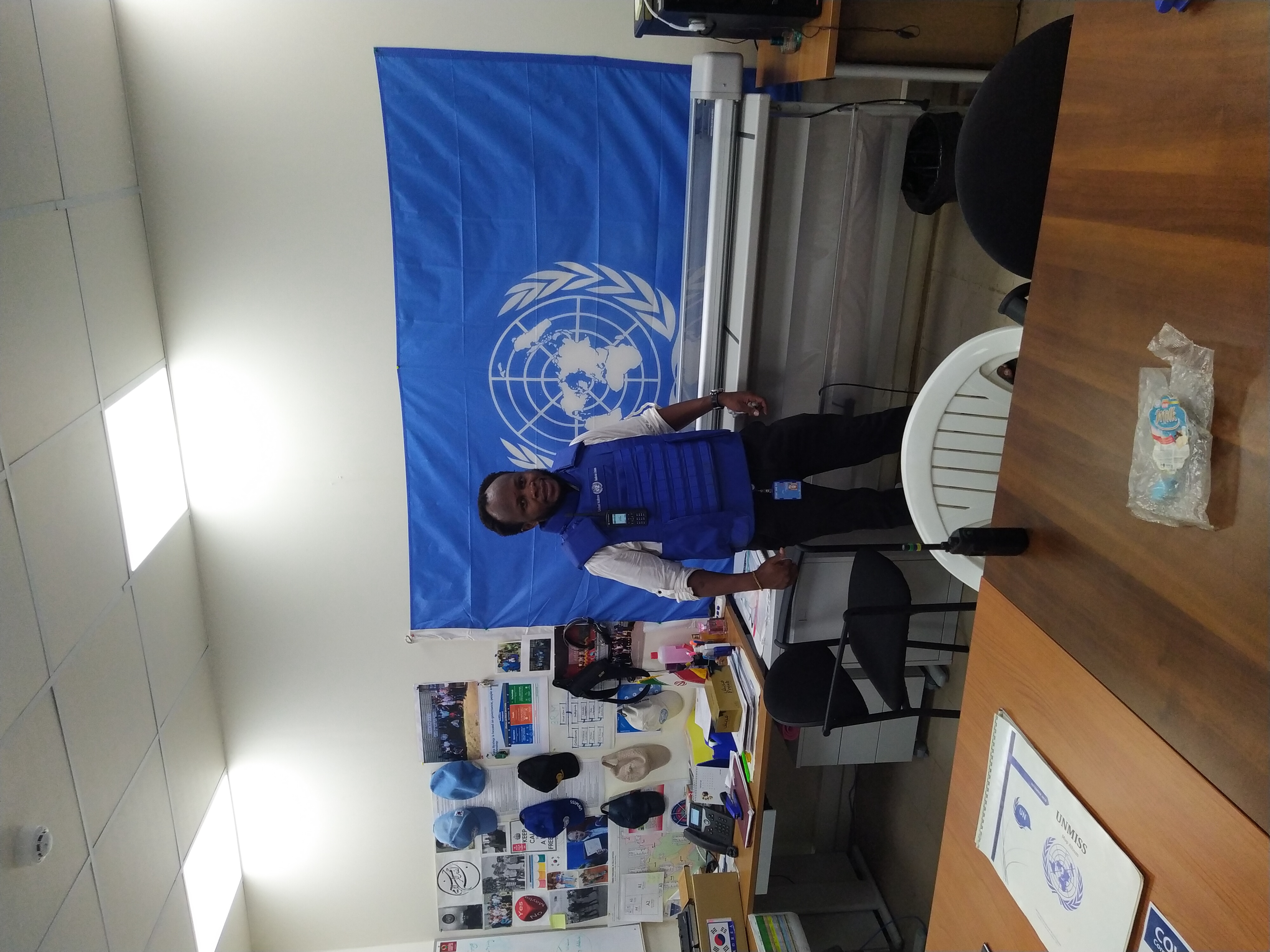
GIS Developer - South Sudan
- Designed and maintained web and mobile GIS products for peacekeeping operations
- Published and consumed web GIS services using ArcGIS Server deployment
- Developed Common Operational Picture for mission-wide situational awareness
- Maintained geospatial databases and implemented data security controls
National GIS Technician (Consultant)
- Developed and rolled out GIS systems and databases for all FAO Kenya Programs
- Coordinated GIS efforts from Country office to Regional and Program areas
- Conducted field monitoring and spatial data analysis for impact assessment
- Trained FAO staff and partners on GIS technologies and methodologies
GIS Applications Developer
- Develop/maintain both current and future web applications.
- Utilize established development tools, guidelines and conventions including but not limited to ASP.NET, SQL Server, HTML, CSS, JavaScript, and C# .NET.
- Experience with SQL Reporting Services, Microsot SQL Server.
- Work closely with the Clients to troubleshoot and design solutions that meet requirements.
GIS Applications Developer
- Provided technical sales support and customer onboarding for ArcGIS Online
- Developed prototype and proof-of-concept mobile and web applications
- Represented company in hackathons, app contests, and developer meetups
- Collaborated with tech startups and universities to promote ArcGIS adoption
Featured Projects
Kenya National Lands Information Management System (ArdhiSasa)
Comprehensive land administration system integrating GIS, ERP, SharePoint, and EDMS for the National Land Commission. Streamlined land registration, reduced record vulnerabilities, and improved data quality.
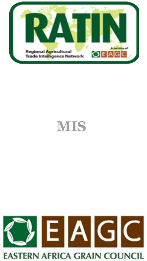
RATIN - Market Information System
Mobile and web platform gathering daily trading information for agricultural commodities across 30+ markets in East Africa. GPS-enabled data collection with SMS query capabilities serving farmers and traders since 1994.
HAIPCRM - Humanitarian Aid Integrity
Complaint Referral Mechanism harmonizing how humanitarian organizations handle complaints. Multi-channel reporting (online, SMS, walk-in) with automated tracking and inter-organizational coordination.
Tujuze - Citizen Science App
Mobile application empowering citizens to report issues to government with precise GPS locations. Near-real-time visualization through dynamic geo-portal for enhanced public service delivery.
CrowdPesa - Financial Services Locator
Android app using GPS to find nearest banks, ATMs, and mobile money outlets. Provides turn-by-turn navigation to financial services based on user location and brand preference.
Rwanda Housing Authority Asset Register
Comprehensive GIS-based asset management system for government properties. Integrated surveying, mapping, and valuation with web-based visualization and analysis.
Conferences & Workshops
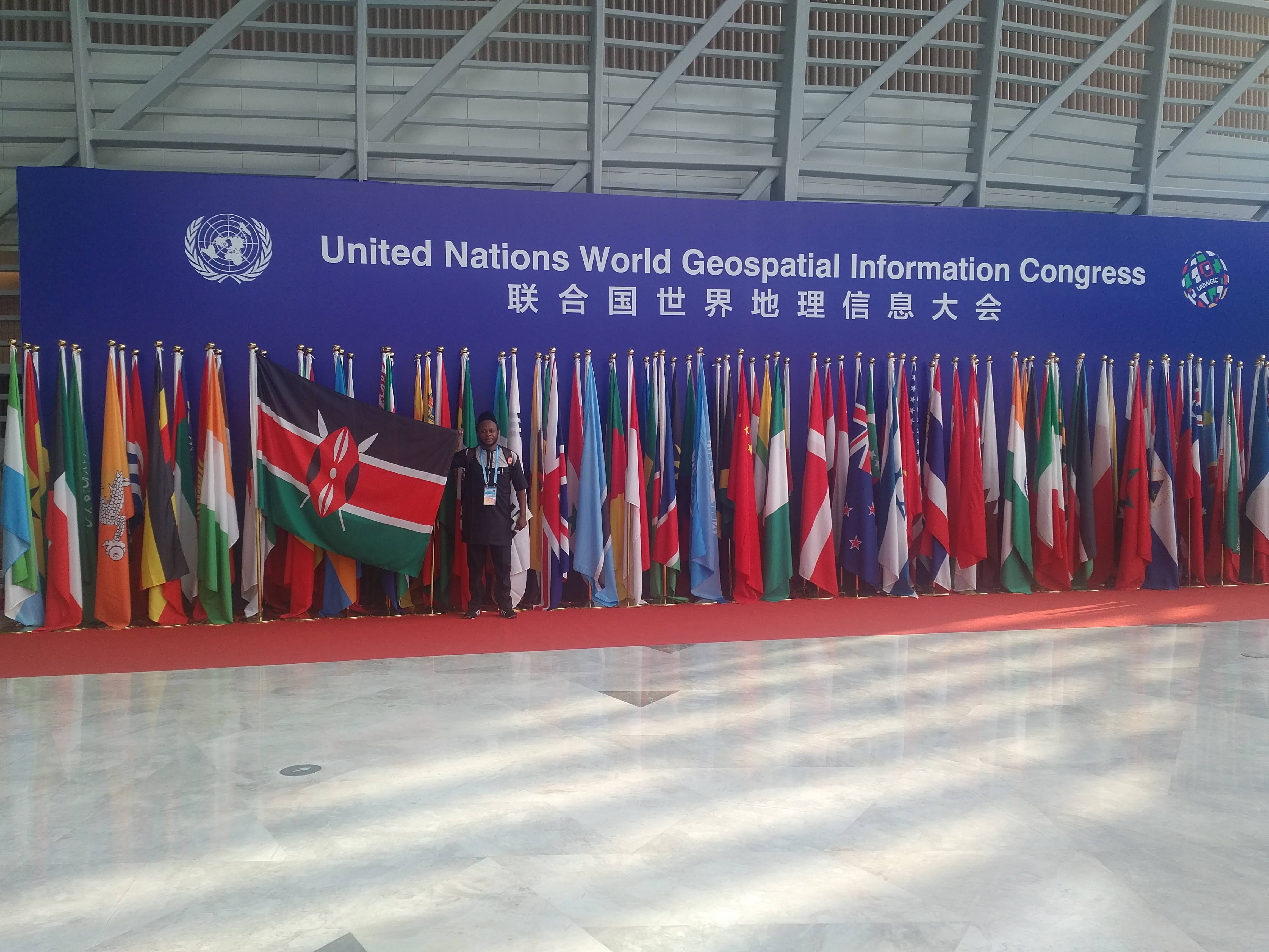
United Nations World Geospatial Information Congress
Moganshan, Deqing, China
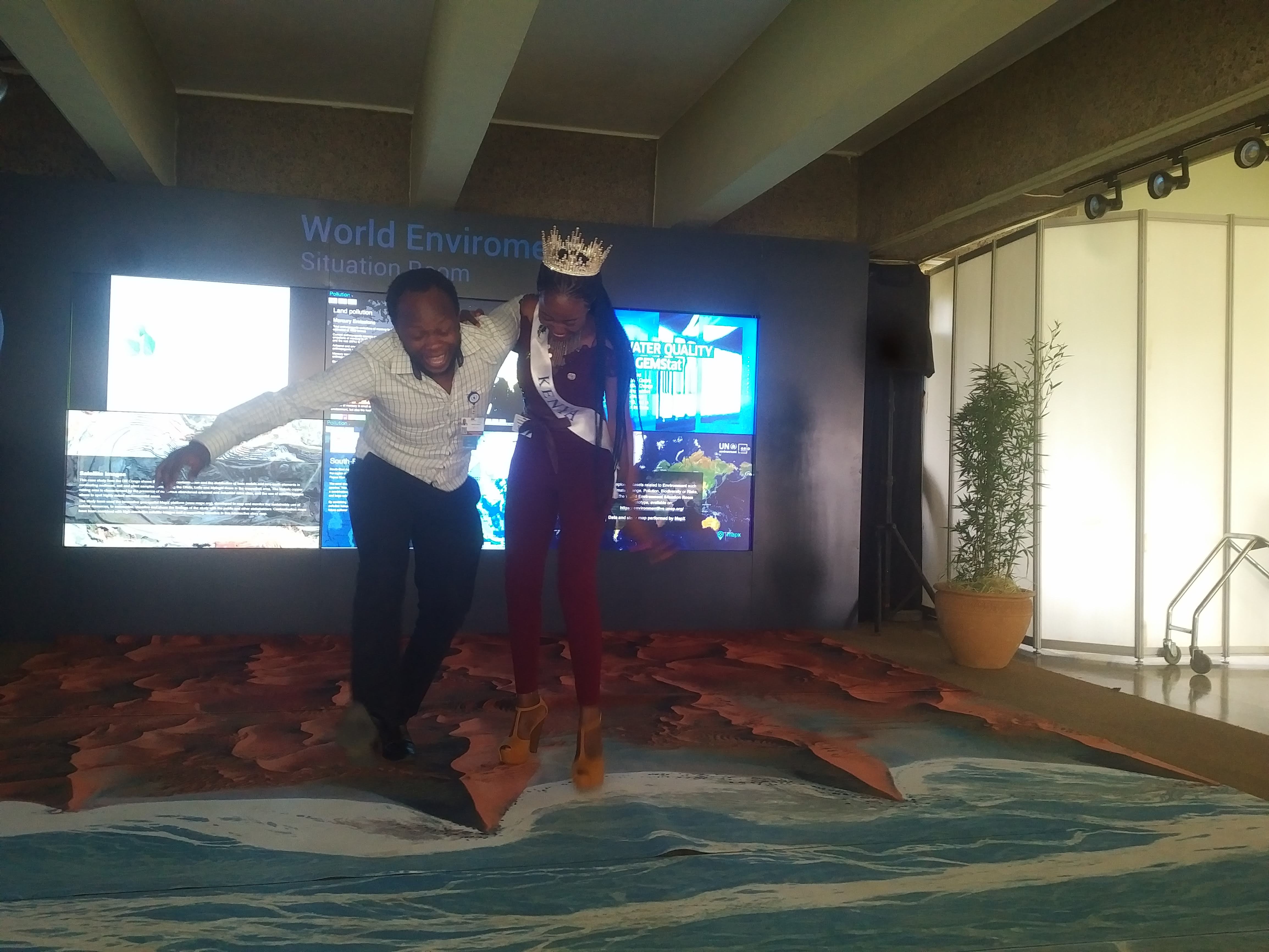
United Nations Enviromental Assembly
Nairobi, Kenya
United Nations World Geospatial Information Congress
Moganshan, Deqing, China
ESRI User Conference
San Diego, California, U.S.A
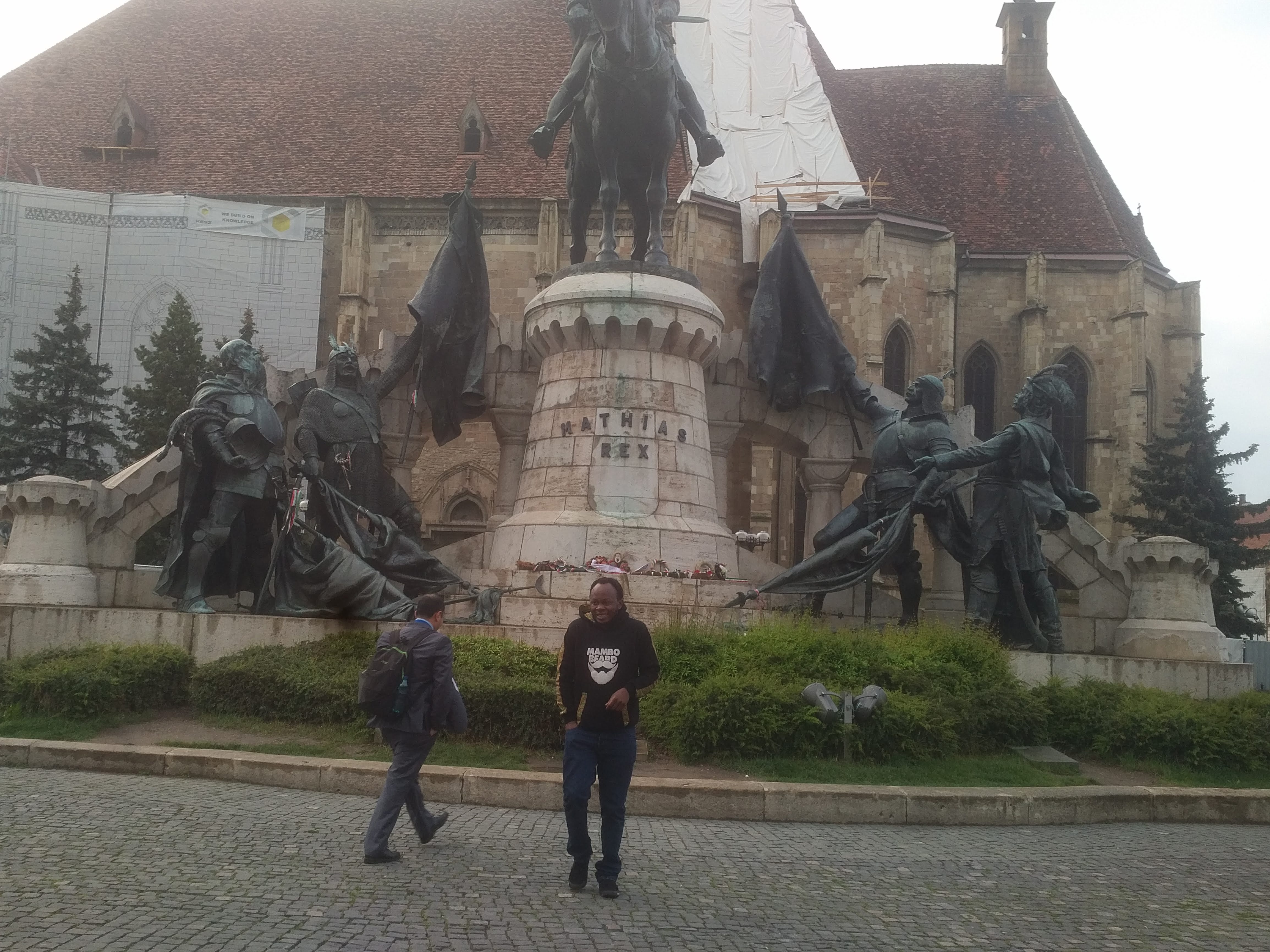
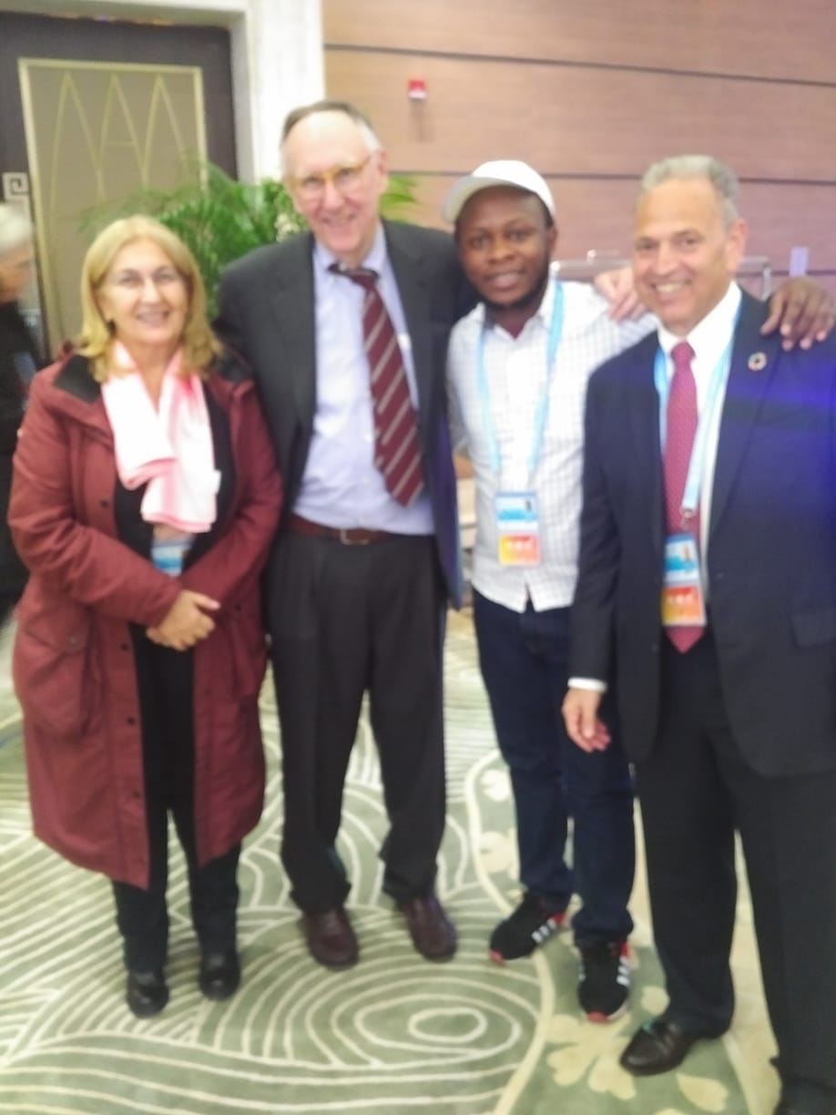
United Nations International Conference on Space Solutions for Sustainable Agriculture and Precision Farming
Cluj-Napoca, Cluj, Romania
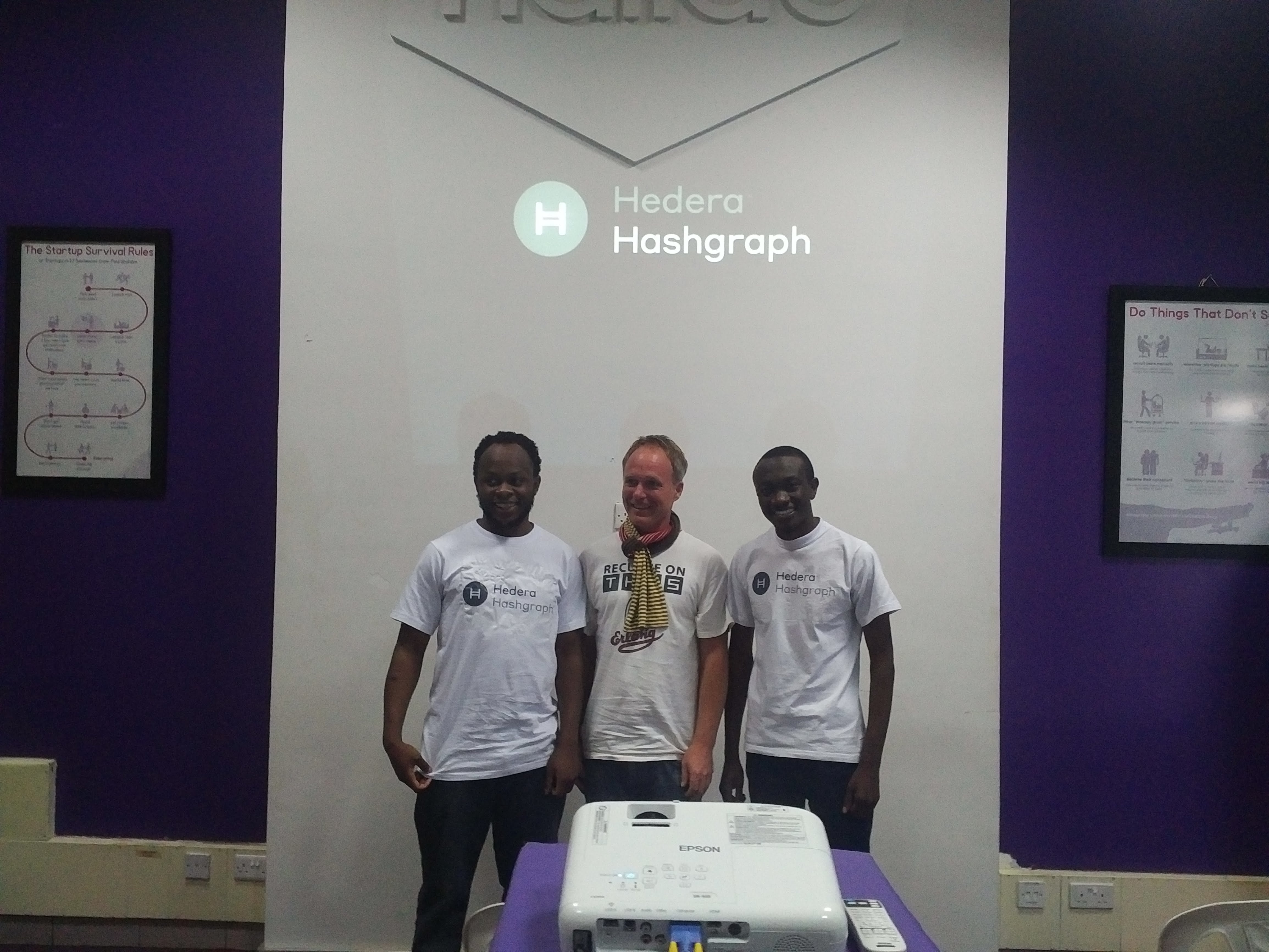
Hedera Hashgraph Public Distributed Ledger Summit
Nairobi, Kenya
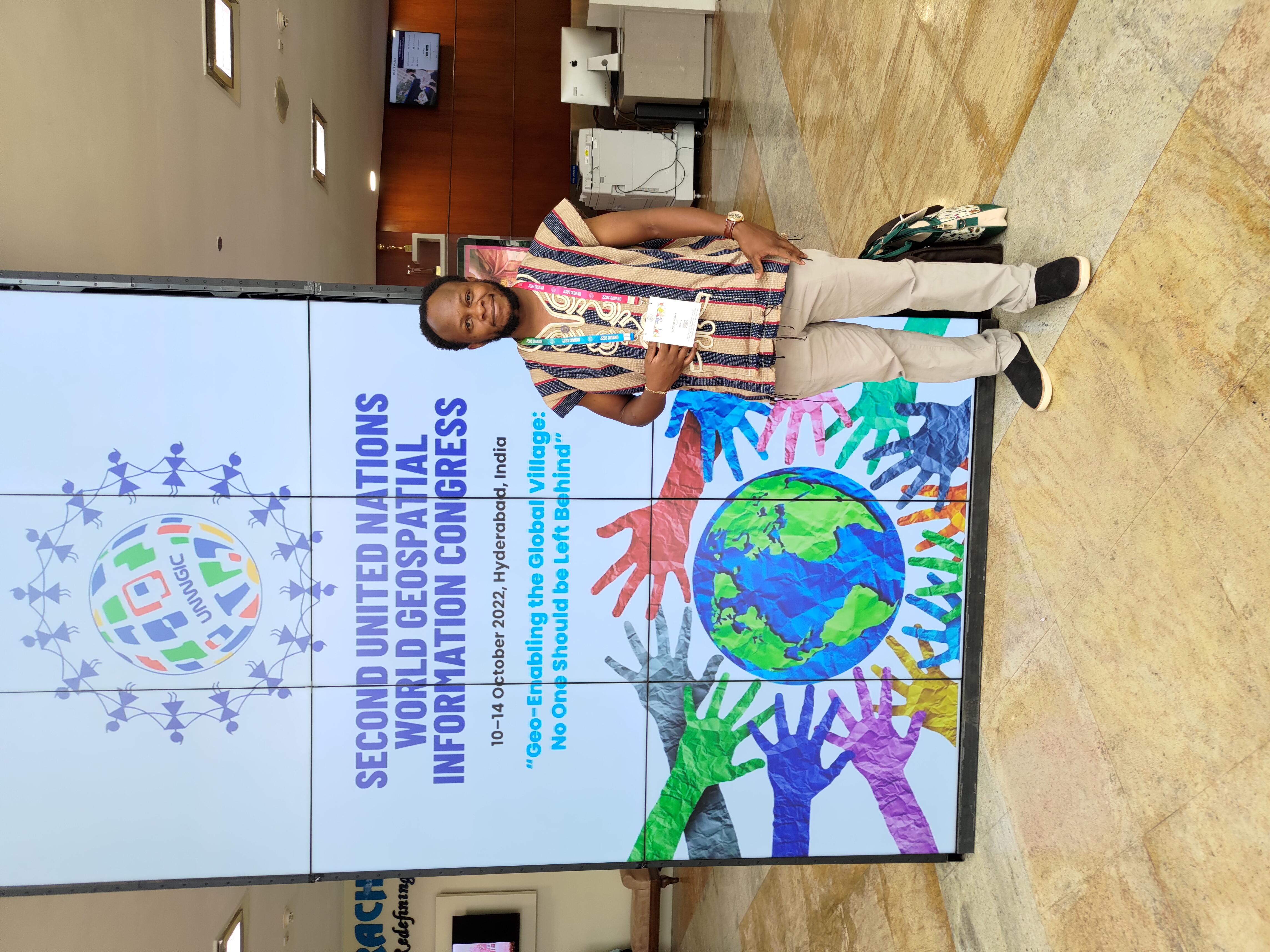
Secong United Nations World Geospatial Information Congress
Hydrebaad, Telengana, India
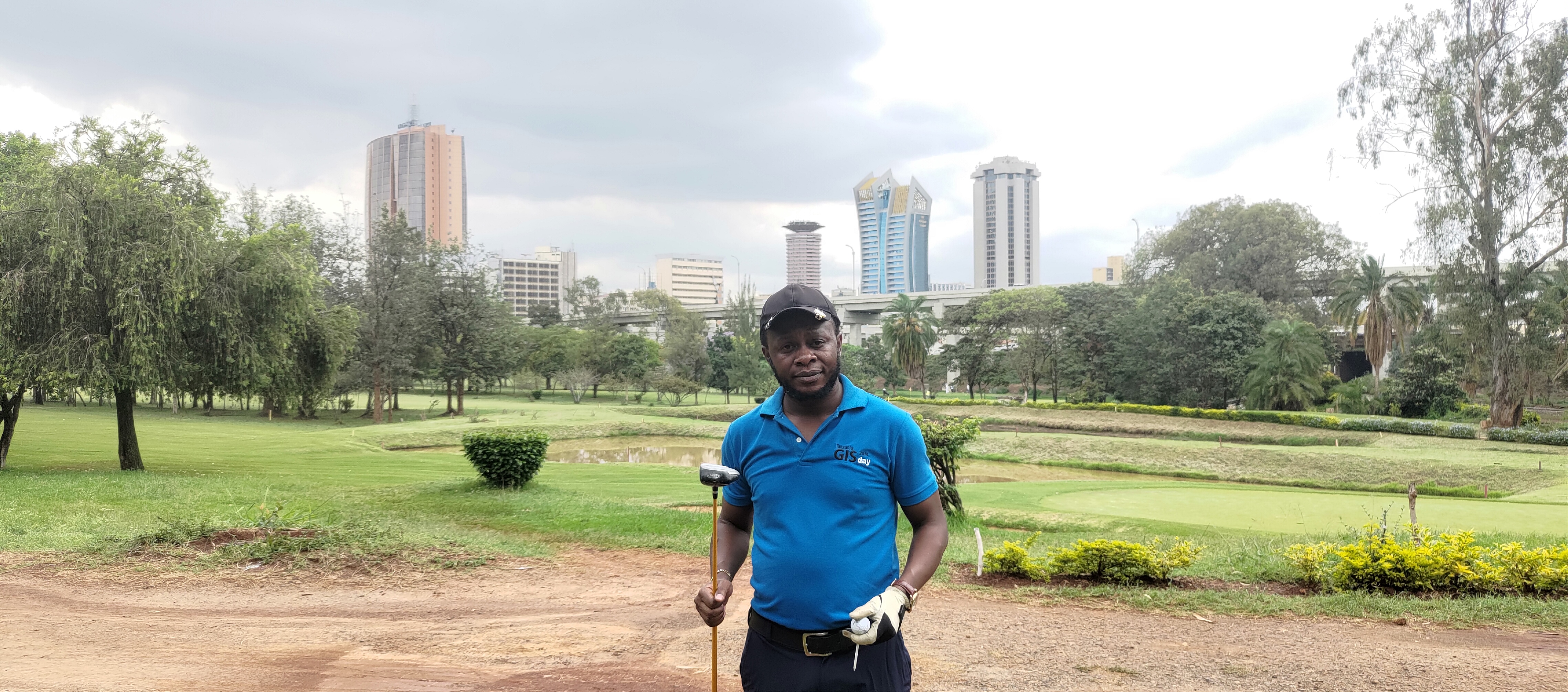
Data Privacy Conference Golf Tounament
Windsor Golf and Country Club, Nairobi

World Future Energy Summit
Abu Dhabi, U.A.E
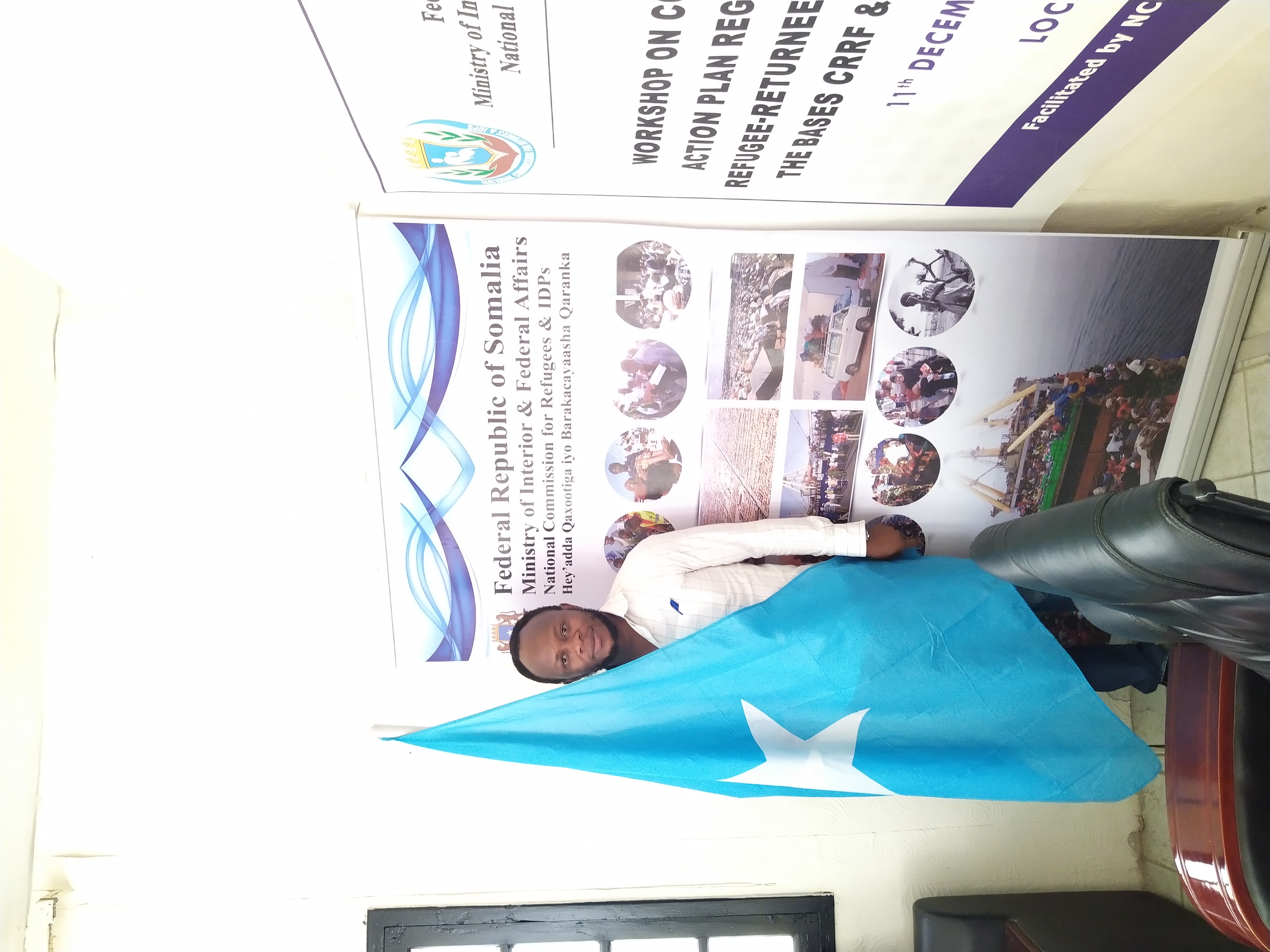
Identity Managemment for Refugees and IDP's Management
Mogadishu, Somalia
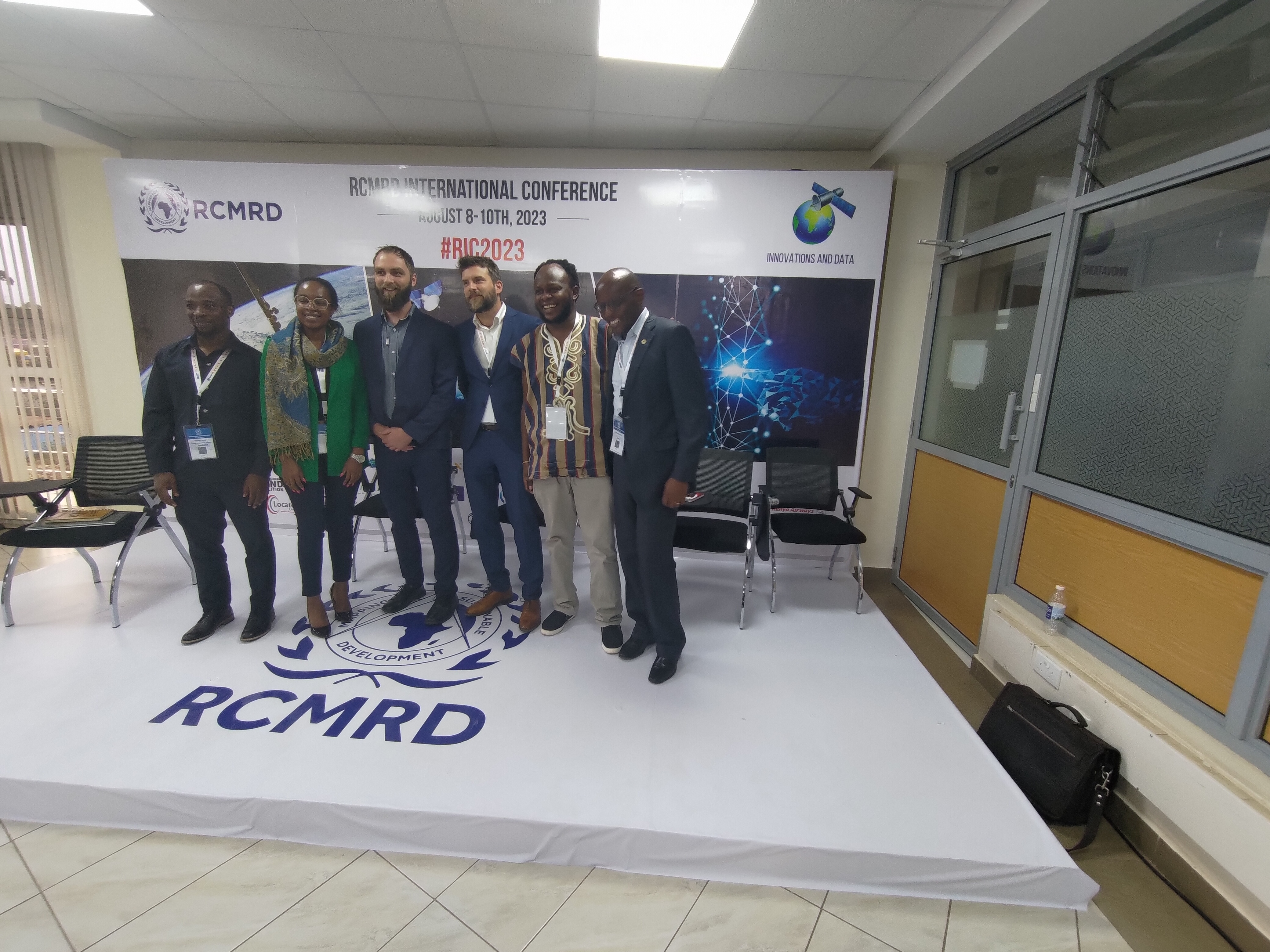
RCMRD International Conference #RIC
Nairobi, Kenya
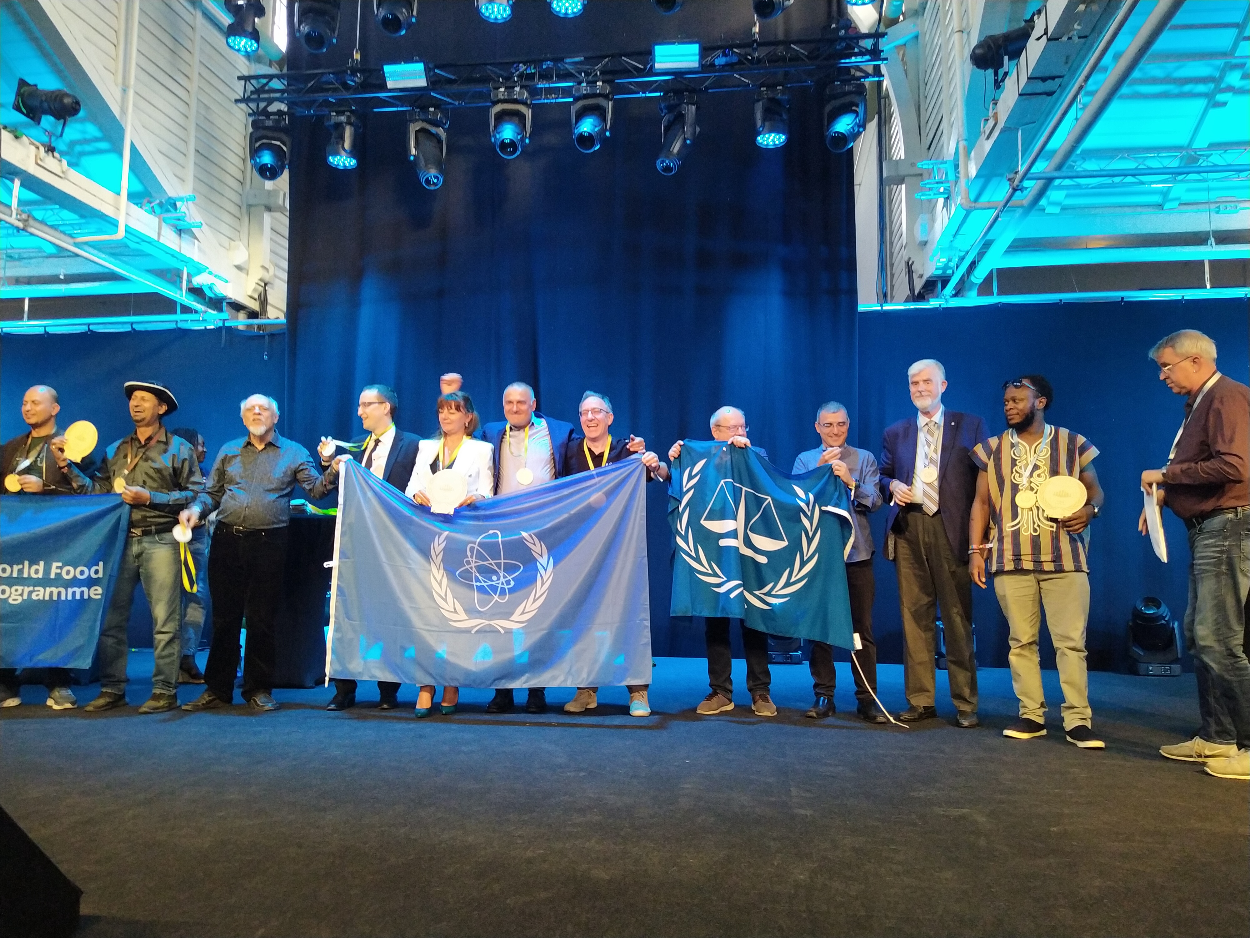
United Nations Inter Agency Games
Copanhagen, Denmark
United Nations Enviromental Assembly
nairobi, Kenya
United Nations World Geospatial Information Congress
Moganshan, Deqing, China
Hobbies & Interests
Technology & Innovation
Exploring emerging technologies, AI advancements, and innovative solutions. Always learning new programming languages and frameworks.
Mapping & Geography
Passionate about cartography, spatial analysis, and exploring how geographic data can solve real-world problems.
Continuous Learning
Reading tech blogs, attending conferences, and participating in online courses. Currently exploring cloud computing and DevOps.
Community Tech Education
Mentoring aspiring developers, contributing to open-source projects, and sharing knowledge through workshops and tutorials.
Music & Creativity
Enjoying diverse music genres and exploring the intersection of creativity and technology in digital art and design.
Problem Solving
Tackling coding challenges, participating in hackathons, and building innovative prototypes that address social challenges.
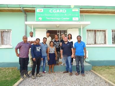
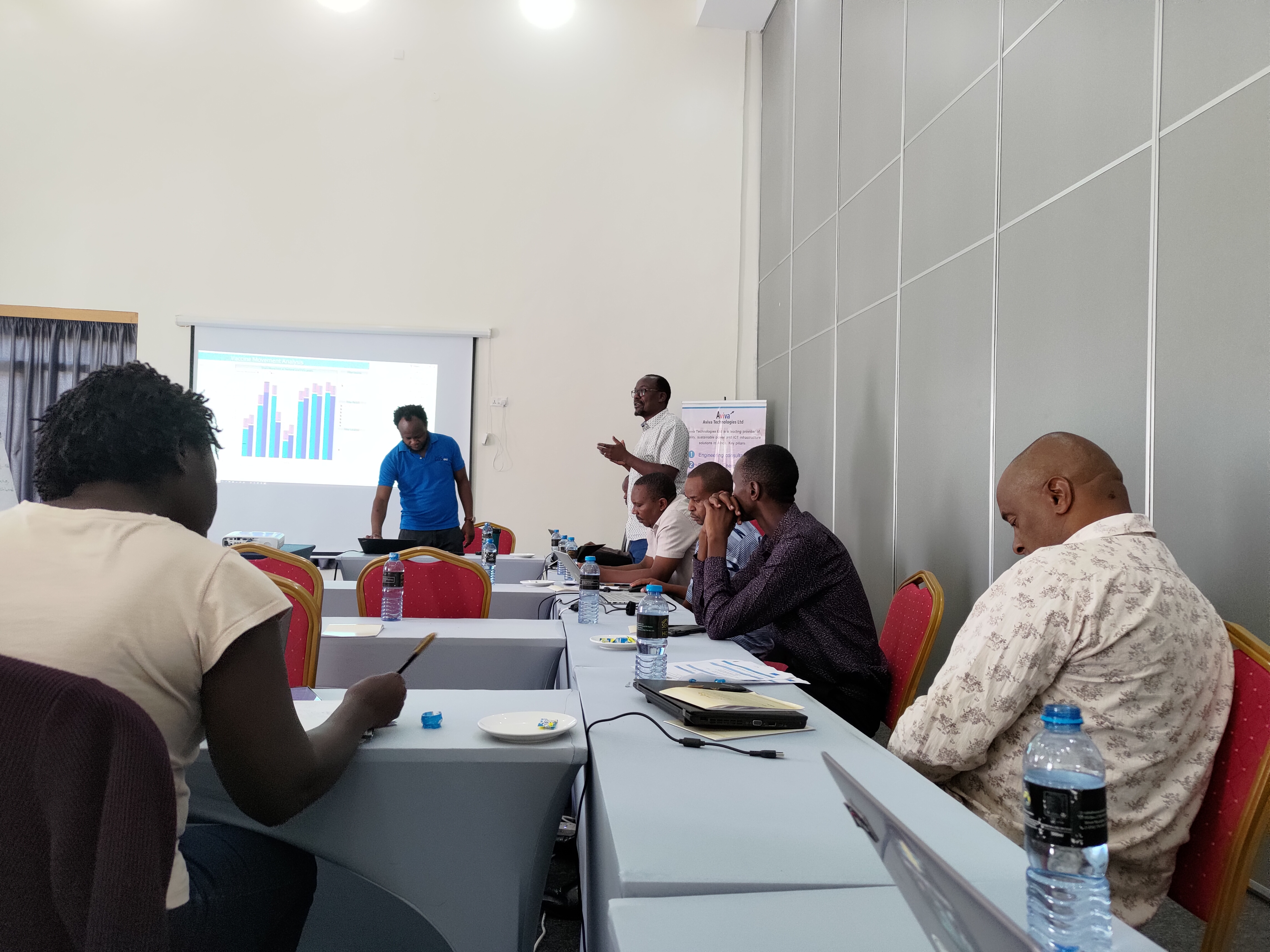
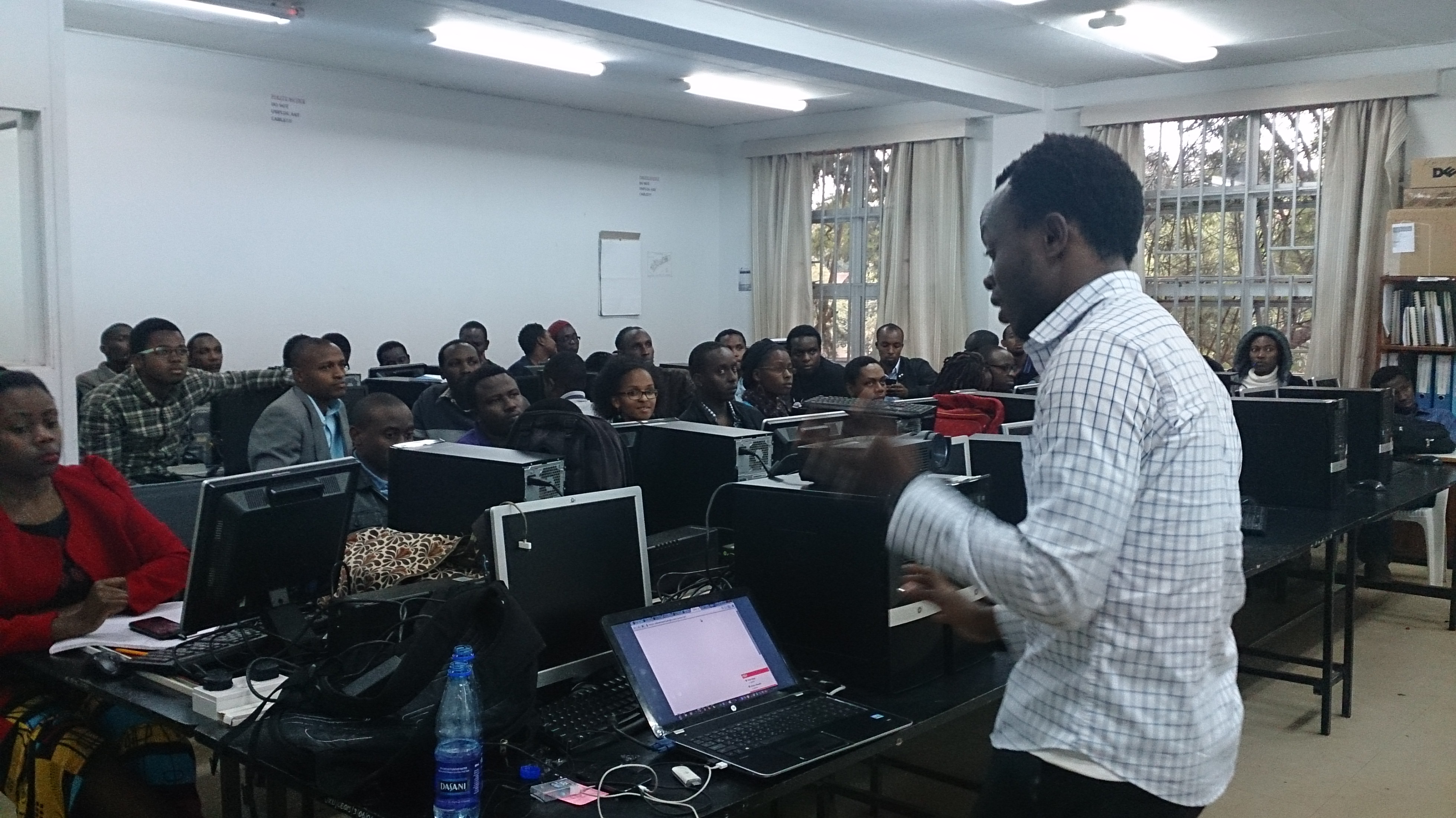
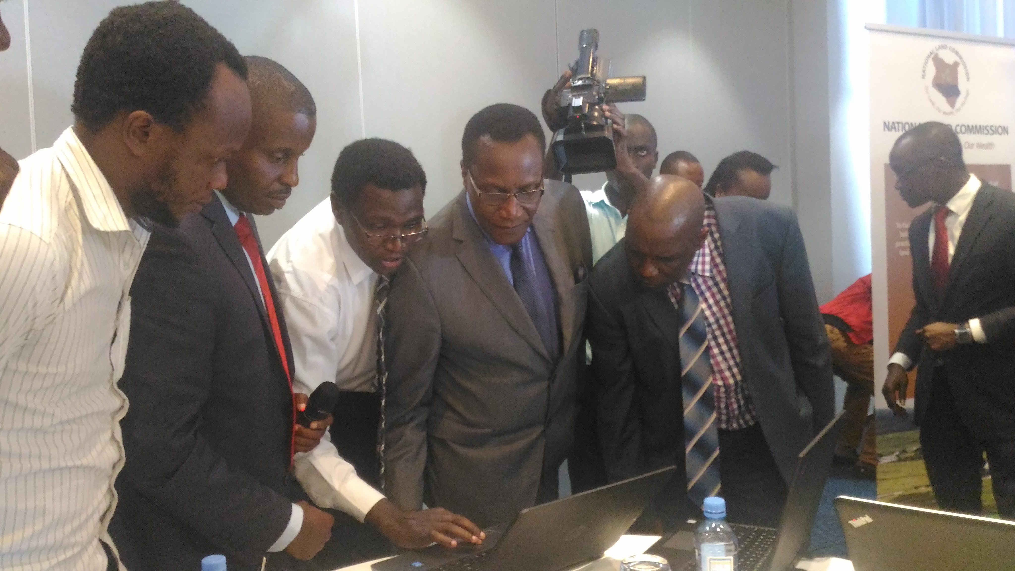
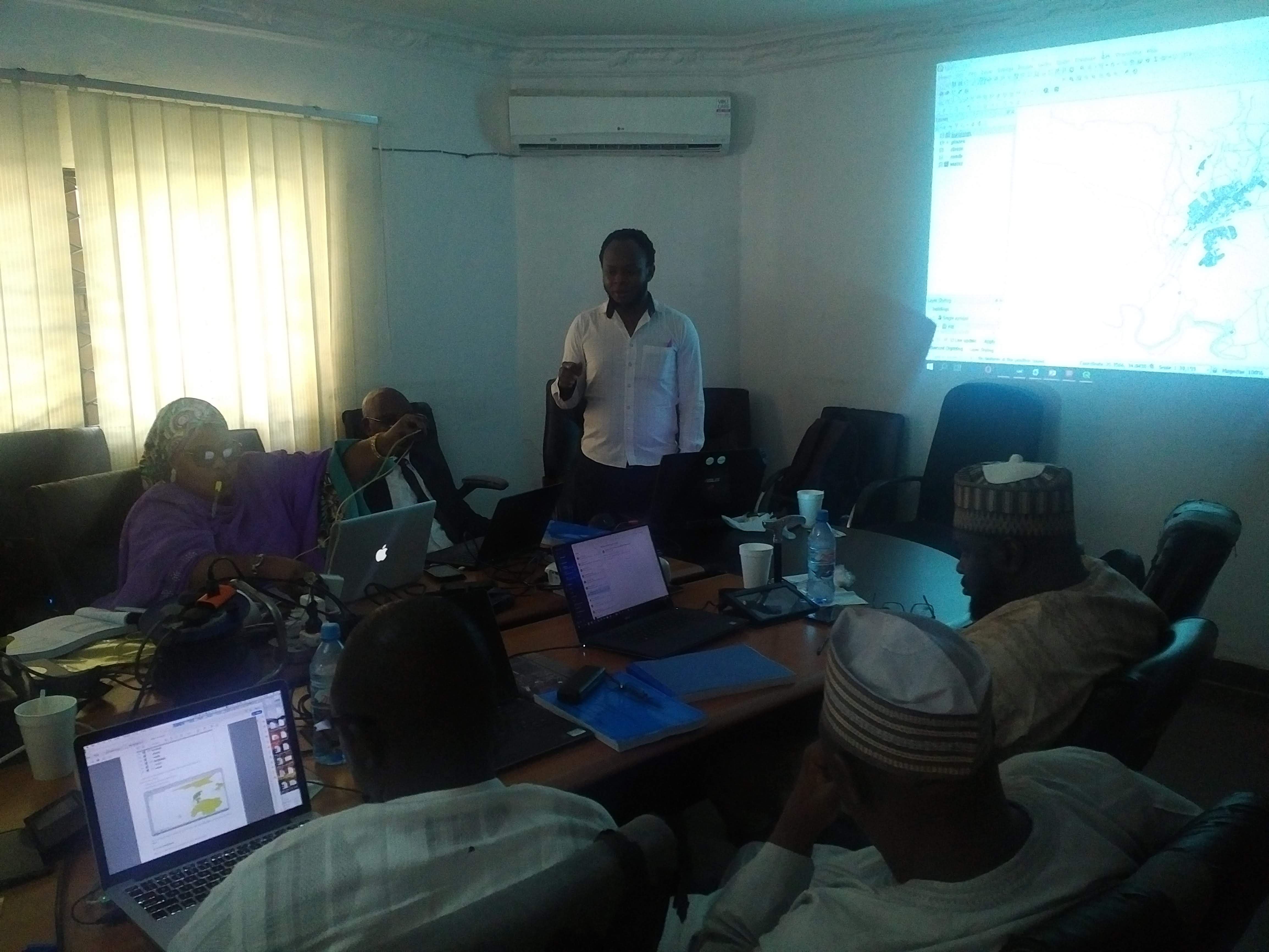
Photo Gallery
A visual journey through my work, trainings, and professional experiences
Get In Touch
I'm always interested in new opportunities, collaborations, and innovative projects. Whether you have a question or just want to say hello, feel free to reach out!
Or email me directly:
[email protected]